Geo Maps in Google Sheets

Geo Maps are very useful when you want to show the data and distribution across the globe, Your data can be anything ranging from Sales, Profit, Health Care, Users, Population etc. With the help of google sheet you can import your data set and get a Geo map very quickly and without much of efforts.
Watch this video for creating Geo chart using Google Sheet or read the text below
https://youtu.be/4q5ZtyvQZUs
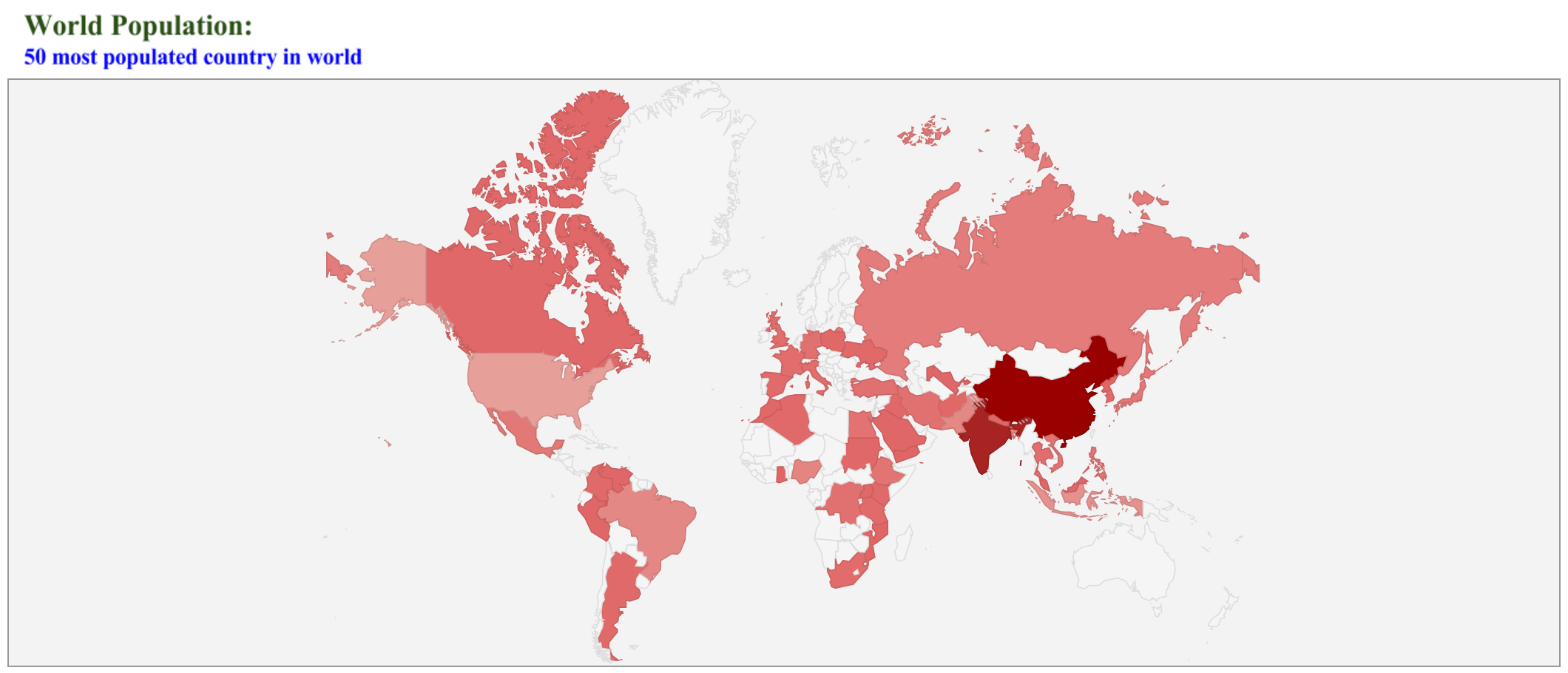
Let’s see how to create the geo map for the 50 most populous country in the world:
Get the data for the first 50 most populous country from the wikipedia as declared by United Nations:
https://en.wikipedia.org/wiki/List_of_countries_by_population_(United_Nations)
Open a New Google Sheet and copy this data to the sheet:
https://docs.google.com/spreadsheets/d/1c-mdMxizEF92wJQIZ1NgDDBJ2QF_Um4yXa7-JvpYKmA/edit?usp=sharing
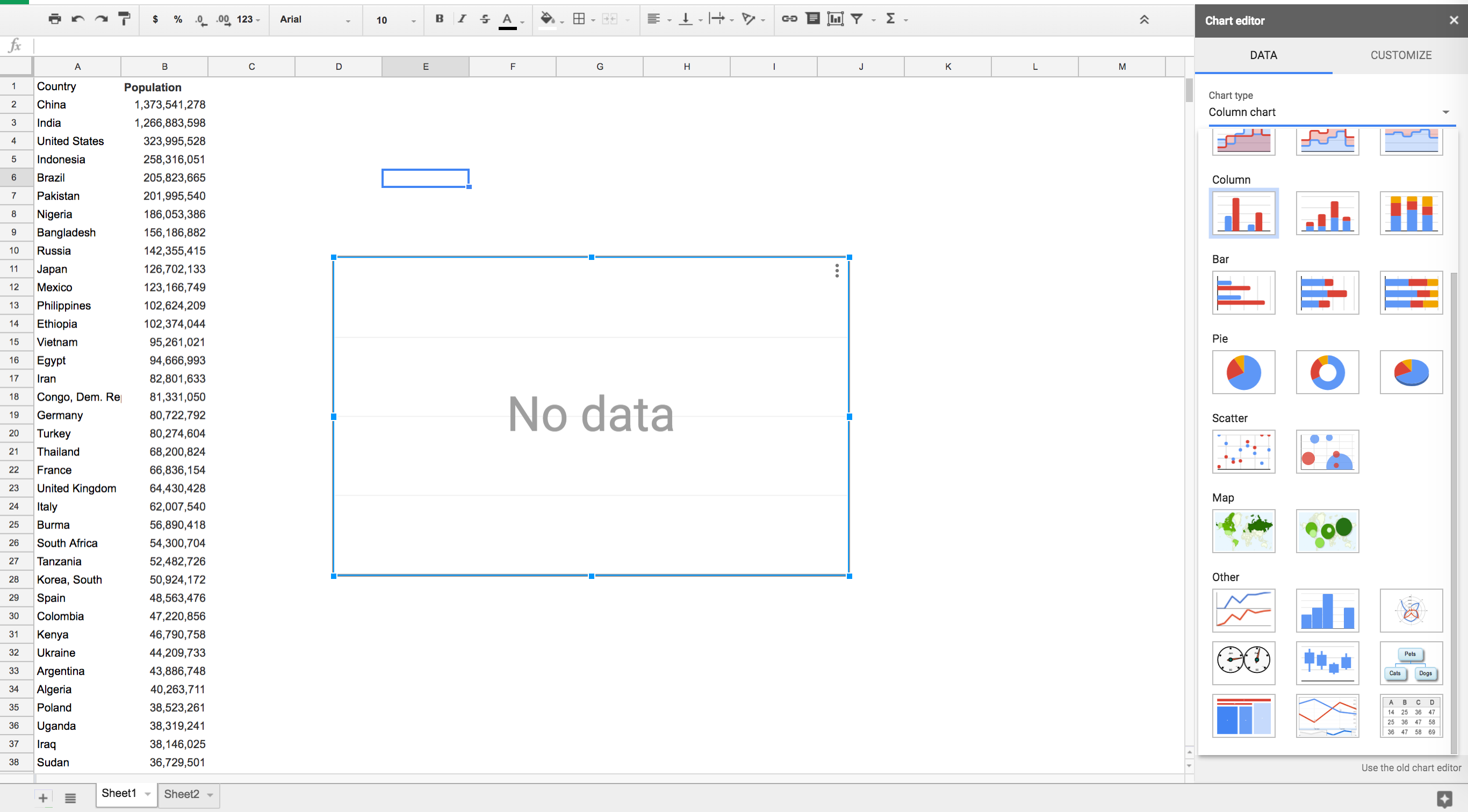
- Insert > Chart > Map > Select Geo Chart

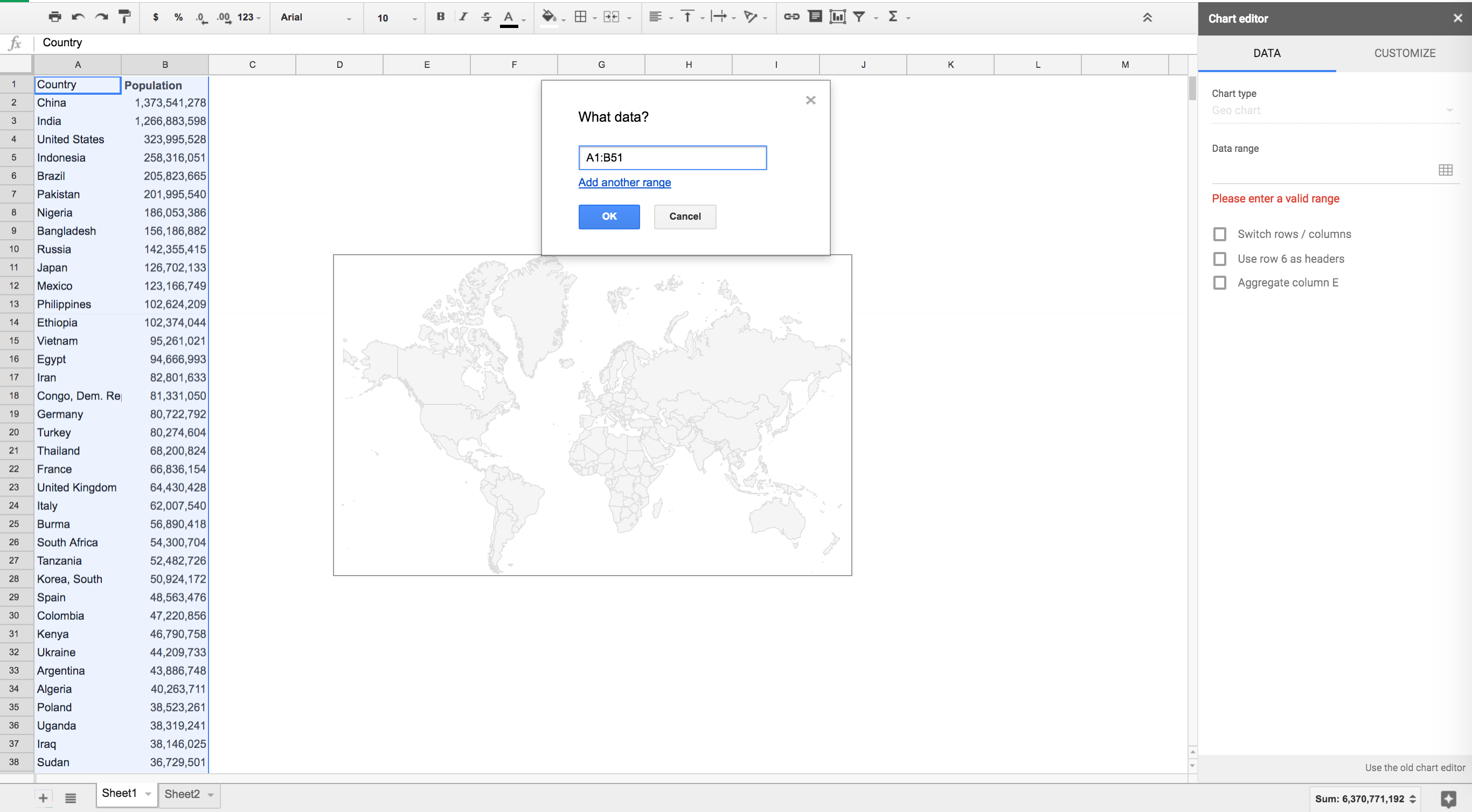
- Select Data Range:

- Geo Map:
